Nicaragua denies invading Costa Rica because of Google Maps
Nov. 15, 2010
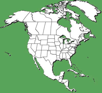
Q: Nicaraguan officials denied reports that they occupied an island on the Costa Rican frontier because of a Google satellite map. The disputed territory is a river island known as Isla Calero, claimed by both countries. Where are Costa Rica and Nicaragua?
Circle the area on this map
Q: It had been reported that a Nicaraguan official said his troops occupied the island because of the map, which Google changed after Costa Rican complaints. What institution did Costa Rica ask for help after Nicaragua took the island?

A. UN
B. NATO
C. CIA
D. OAS
Q: If Nicaraguan troops pulled out, Costa Rica promised its police would not move into the area. Costa Rica has no standing army. Which nation is richer?
A. Costa Rica
B. Nicaragua
Q: An Israeli newspaper said Nicaragua's move on the San Juan River was a trial balloon of a plan by Nicaragua, Venezuela and Iran to build a new canal linking the Atlantic and Pacific Oceans. The project would compete directly with the . . .
A. Suez Canal
B. Magellan Strait
C. Panama Canal
D. Northwest Passage
Q: At 19,729 square miles Costa Rica is slightly smaller than West Virginia. Nicaragua's 50,336 square miles is slightly smaller than . . .
A. Alaska
B. Louisiana
C. Colorado
D. Delaware
Answers for this quiz: Click here