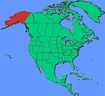
Circle the area on this map
C. Russian sailors were the first Europeans recorded to reach Alaska in the 1700s. They established settlements and resisted a Spanish attempt to colonize the area. Russian Czar Alexander II sold the huge area to the United States, which made it a territory in 1912 and a state in 1959. The indigenous people who lived in Alaska for thousands of years had virtually no say over who “owned” their homeland.
D. Russia’s Big Diomede Island is only 3 miles from Alaska’s Little Diomede Island in the Bering Strait. That means Alaska is about 166 times closer to Russia than it is to the nearest of the “Lower 48” states. It is about 500 miles from the southwest tip of Alaska to the northeast corner of Washington state. Alaska is the northernmost, westernmost, and easternmost state, with islands extending into the Eastern Hemisphere.
A. Anchorage has a population of 291,247 people, or about 40 percent of Alaska’s 740,133 people. It is about nine times larger than either of the next largest cities, Fairbanks and Juneau. The fourth largest city, Wasilla, has 9,054 people. Juneau is Alaska’s capital, but it has no roads leading to the rest of the state. It is only accessible by boat or plane.
C. New Mexico is the fifth-largest state. Alaska is larger than the combined area of Texas, California, and Montana. Alaska covers about 17.5 percent of the total area of the 50 states and Washington, DC. Alaska’s water area is 94,743 square miles, more than twice as much as the 40,175 square miles of water in Michigan. Michigan is the wettest state, with 41.5 percent of its territory covered by water.