Satellites reveal sudden Greenland ice melt
July 30, 2012
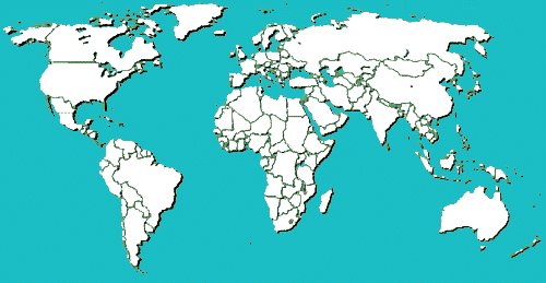
Q: Satellite images show that the surface of Greenland's massive ice sheet has melted this month over an unusually large area – jumping from 40 percent to 97 percent in just four days. Where is Greenland on this map?
Circle the area on this map
Q: It may be tempting to link the event to global warming, but scientists say such melts might occur about every 150 years and it could be the result of unusual weather. How much would sea levels rise if all of Greenland's ice were ever to melt?

A. 3 feet
B. 23 feet
C. 53 feet
D. 103 feet
Q: With a total area of 836,330 square miles, Greenland is the third largest country in . . .
A. North America
B. Europe
C. Asia
D. The world
Q: Greenland's ice sheet is 677,855 square miles and covers how much of the country?
A. 52 percent
B. 66 percent
C. 81 percent
D. 99 percent
Q: If Greenland's ice sheet melted, what do scientists believe it would reveal?
A. An archipelago
B. A frozen forest
C. An ancient city
D. Nothing but rocks
Answers for this quiz: Click here